
Good GIS data can be hard to find…
So here are some valuable resources I’ve used that you might find helpful, along with credits listed at the bottom.
Geospatial resources
Italy data
This is the main one I have used for the detailed data layers for my Italia series of maps. It is based on OpenStreetMap databases. There is a fee involved, but good free data is difficult to come by, and realistically it’s not a lot of money.
Go to Products -> Data -> Basemap
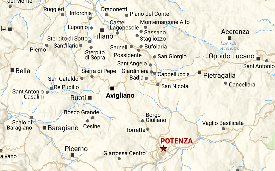
This is a geoportal and catalog for the Basilicata region of Italy, specifically. There are a lot of data layers to download and explore for free.
World data
These are a couple of websites from which I downloaded world country boundaries. Master Maps is run by Bjørn Sandvik from Norway. Originally his website was thematicmapping.org, but this no longer exists.
Credits
All the maps in my portfolio were created using Esri’s ArcMap and ArcGIS Pro. I pay for an ArcGIS Personal Use annual subscription via Esri Australia, and we use Esri products in my workplace.
The cute vector icons of countries that I am using on my site were created by Juan Pablo Bravo from California, USA. Whilst technically I don’t need to credit them because I purchased a royalty-free license, I feel that it’s still a good thing to do.
I am hosted through DreamHost and use WordPress as the site-building platform. I am using the Extendable theme.
