
Hi, I’m Jess Bonsell and the creator behind Jess Loves Maps. I have been a GIS professional for almost 15 years and live in Adelaide, Australia.
Ever since I can remember, I have loved maps. I recall gazing lovingly at atlases as a child, and I owned a globe that I coveted. Yes, I still have one (albeit not the same one!). As I got older, I started reading the street directory, and this led me to guiding my dad to new locations from the backseat of the car. Dad never gave the directory to my mum in the front seat, oh no! The task always came straight to me. It’s hard to imagine a world without Google Maps these days, but it certainly existed, and we survived (somehow).
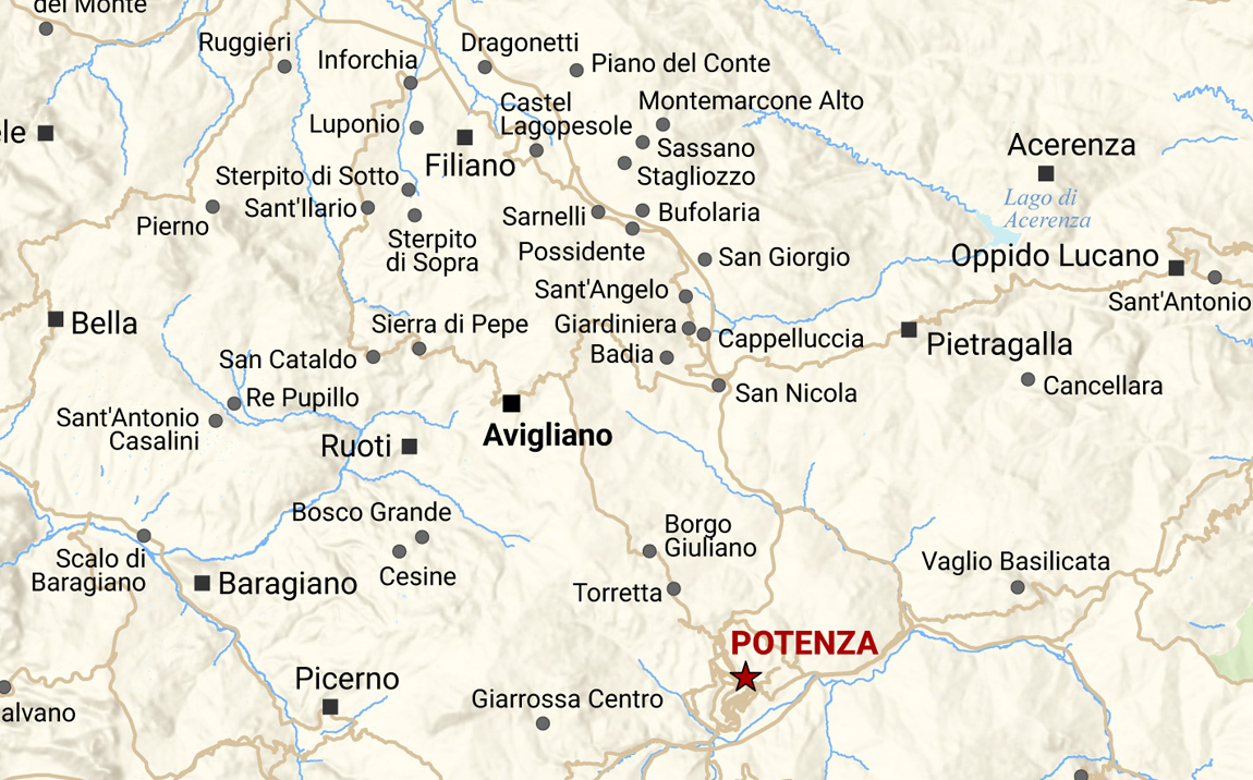
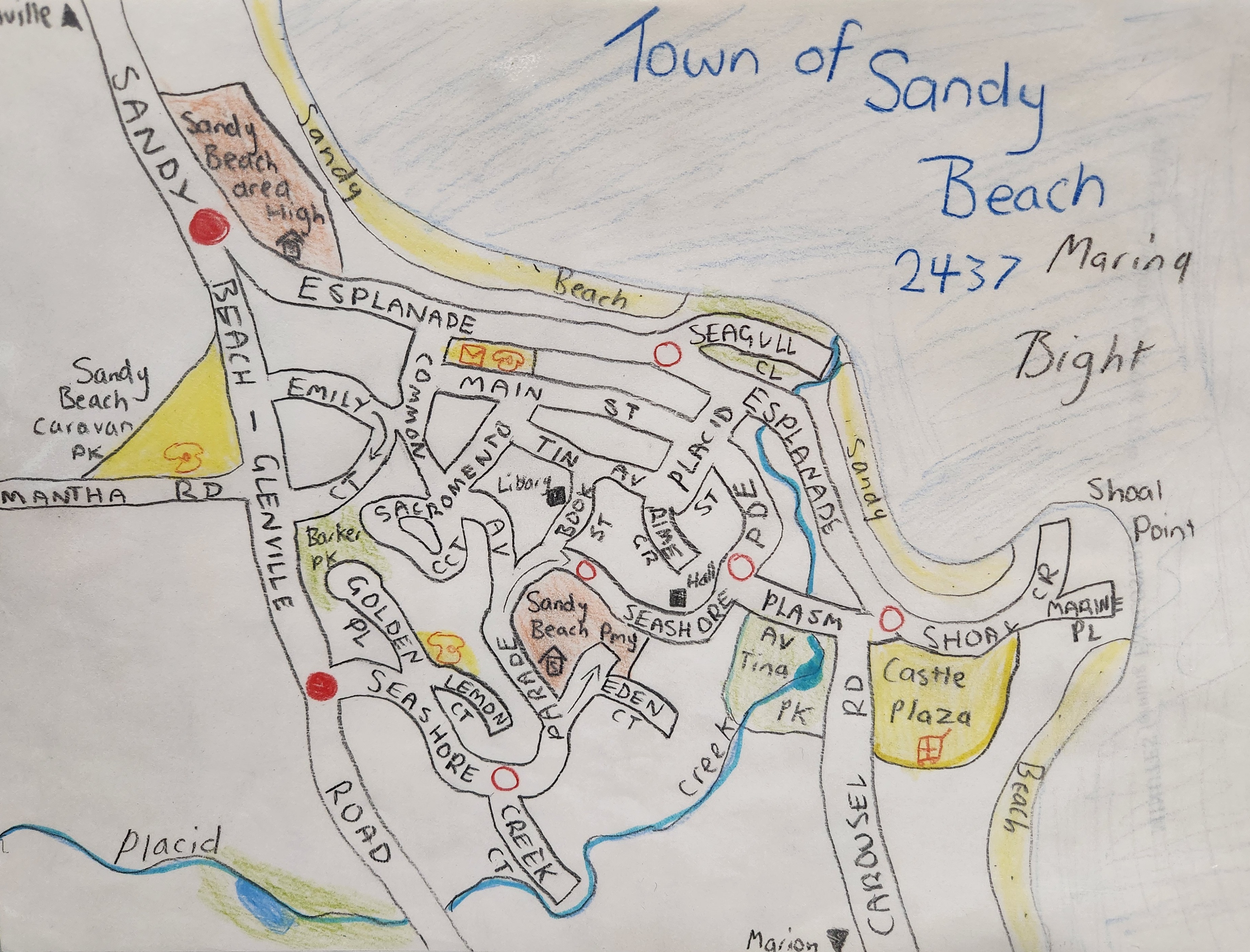
Aged 12, I created town/suburb maps based on the style of the street directory. I still own the folder they sit in, and I look back at them and laugh sometimes. I was certainly creative, even if they made little sense geographically or demographically. None of them are actual places, by the way!
At the end of 2003, aged 15, my parents took my sister and me to Leicestershire, England, where my dad’s family is from. In January 2004, we took a day trip to London, and I remember navigating the Underground with ease. I led my family down the escalators and towards the correct platforms with confidence. I didn’t know that the term ‘spatial awareness’ existed back then, but upon reflection, I had it in spades.
I began my third year of high school that year, and we were to undertake work experience. My dad had made me aware of a career option called ‘cartography’, as he thought I’d be good at it. I have no idea where he knew the term from, but I am very glad he did. As a result, for my work experience module, I went to the GIS Mapping Unit of the then Department of Primary Industries and Resources (PIRSA). I used a digitiser screen to create geological polygons for a map and edited the map using Esri ArcEdit. Strangely enough, nine years later I would work alongside some people I met during my experience. (A way to make those people feel old, I think.)
At university, I ended up studying a newly created undergraduate degree entitled Bachelor of Sustainable Environments (Geographical and Earth Systems). Not only did I learn about GIS, in theory and practical applications, but I learnt extensively about environmental and earth sciences, and they enriched my love for the natural world.

A year after graduating, I started in a temporary position in state government, which involved back-capturing old survey plans. Through connections between the project and Land Services Group, I was offered a GIS role, creating maps for Native Title claims and determinations. After nearly two years in this role, I applied for a job in the now Department for Energy and Mining and started there in February 2013. I have been in this department ever since, and am currently in a senior position.
One highlight of my current employment happened in 2014. I had created a series of maps for the 2nd edition of the Royal Geographical Society of South Australia’s Explore the Flinders Ranges. I was invited to travel to Quorn, South Australia, for the book launch. Everyone was complimentary about the maps I had produced, and I felt very proud!

A lot of the maps I produce are for internal use only, but many are shown in my colleagues’ PowerPoint presentations, on posters at conferences, and in published journal articles. Sometimes, I can’t believe that I get paid to make maps for a living. Who knew when I was drawing my little town maps all those years ago that you could make a career out of a love for geography and cartography?
Current role
Senior Publications Analyst – GIS
Geological Survey of South Australia
Department for Energy and Mining
Education
Bachelor of Sustainable Environments
(Geographical and Earth Systems)
University of South Australia
Awarded Arthur J. Smith Prize
Member of
Women in Geospatial Science Network
Music of choice
Interrupting my train of thought
Lines of longitude and latitude
Define and refine my altitudes
“Map Ref 41°N 93°W” – Wire